|
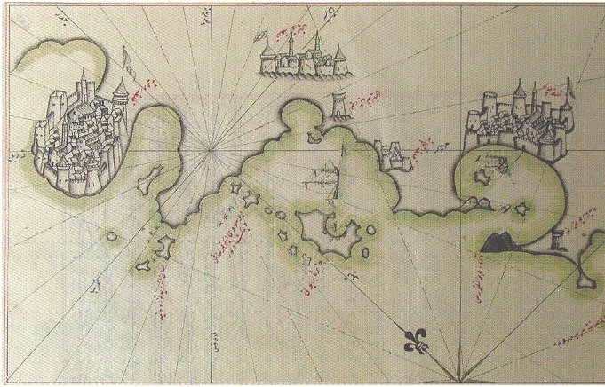
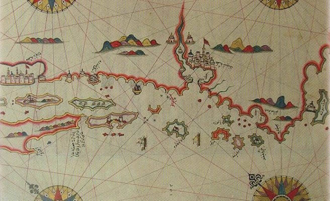
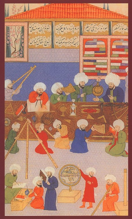
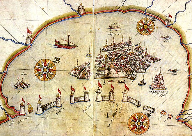
Zur Begründung seines Schreibens erklärt Piri in einer Fußnote:
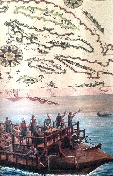
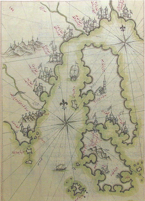
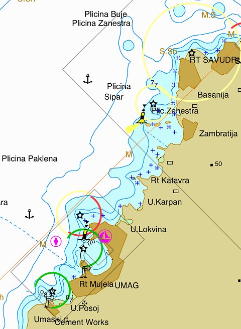
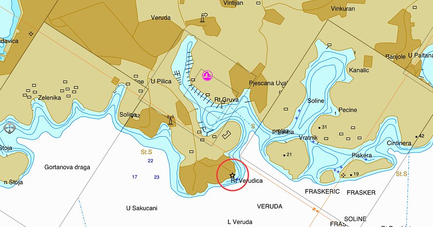
God has not granted the possibility of mentioning all the aforementioned things
(i.e cultivated and ruined places, harbours and waters around the shores and islands of the Mediterranean,
and the reefs and shoals in the water) in a map since, when all is said and done,
[a map] is a summary. Therefore experts in this science have drawn up what they call a 'chart'
with a pair of compasses according to a scale of miles, and it is written directly on to a parchment.
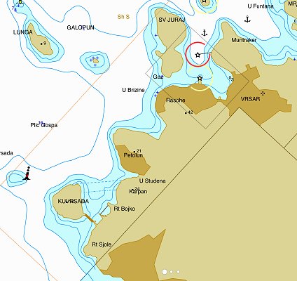
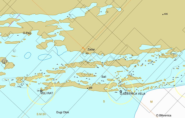
Therefore only three points can fit into a space of ten miles, and there are places of less than ten miles.
On this reckoning only nine points will fit into a space of thirty miles. It is therefore impossible to include
on the map a number of symbols, such as those showing cultivated and derelict places, harbours and
waters, reefs and shoals in the sea, on what side of the aforementioned harbours they occur,
for which winds the harbours are suitable and for which they are contrary, how many vessels
they will contain and so on.
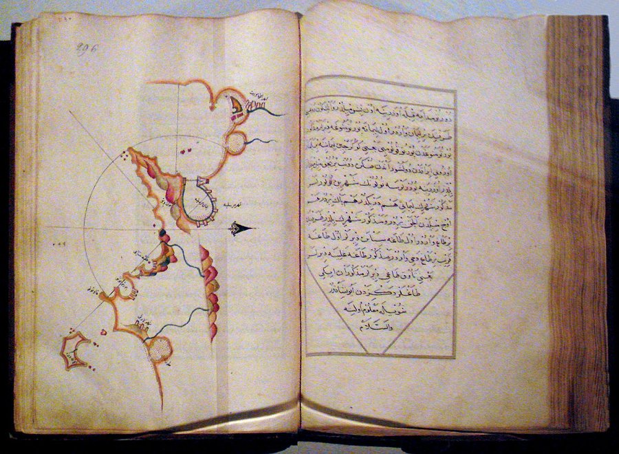
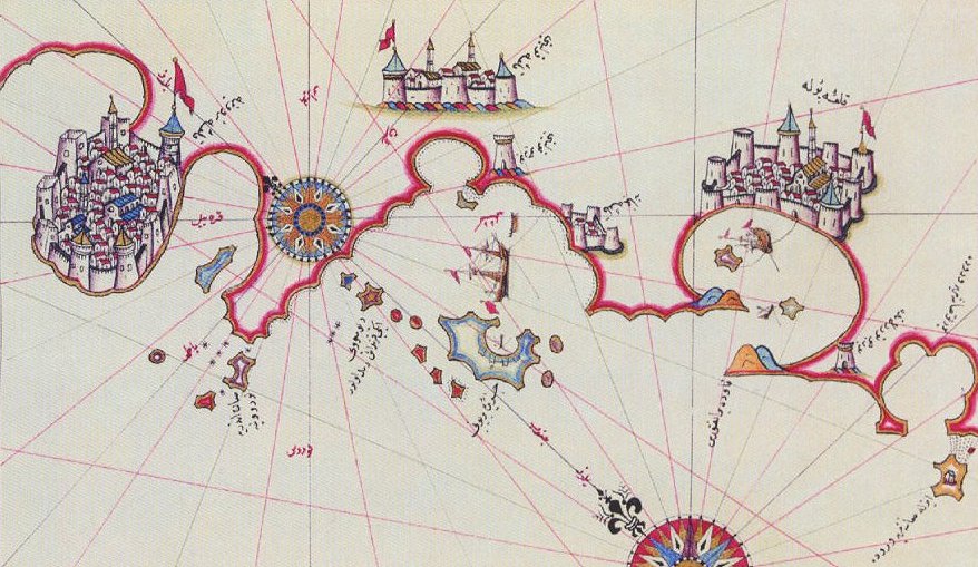
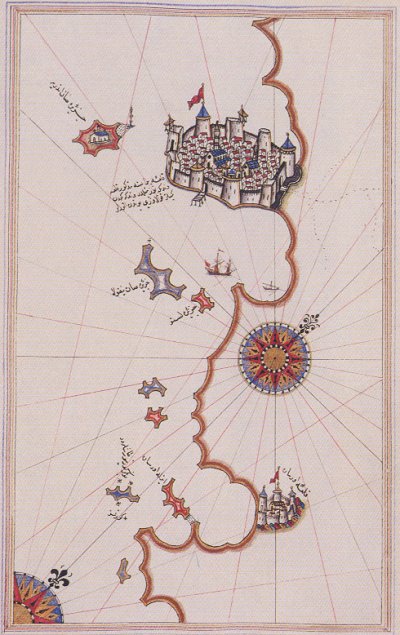
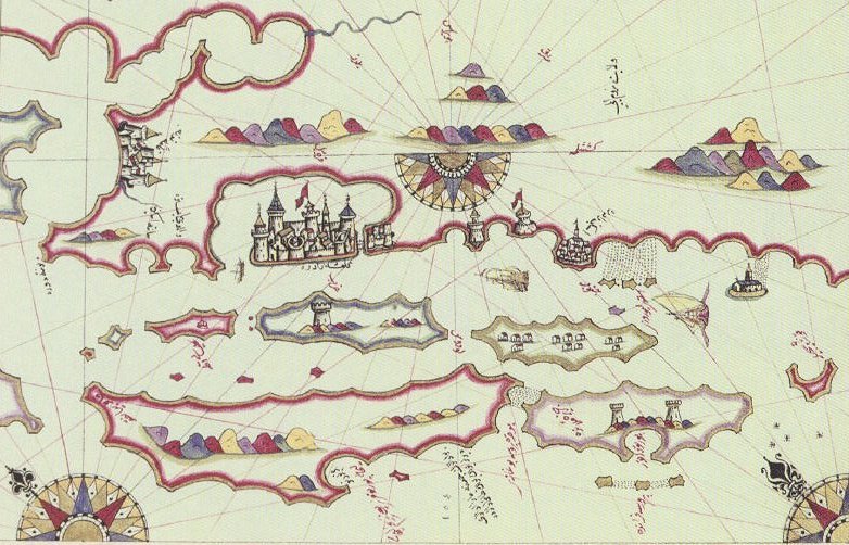
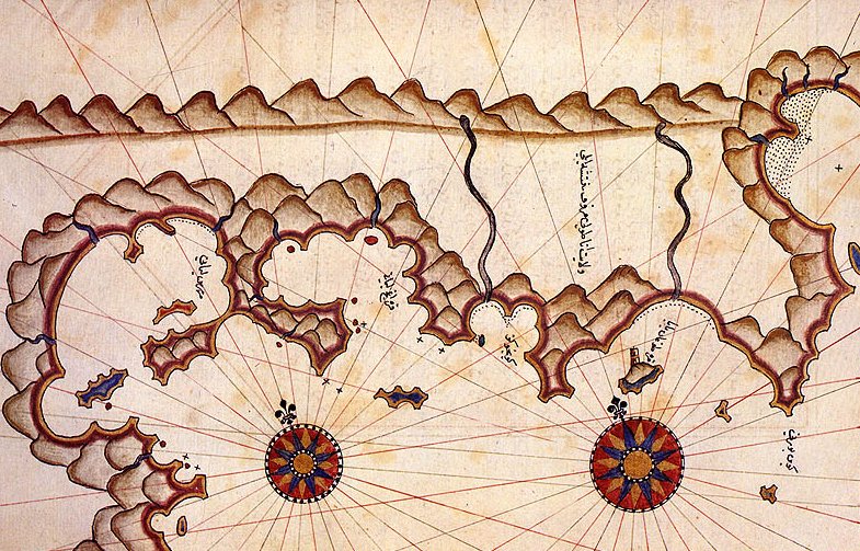
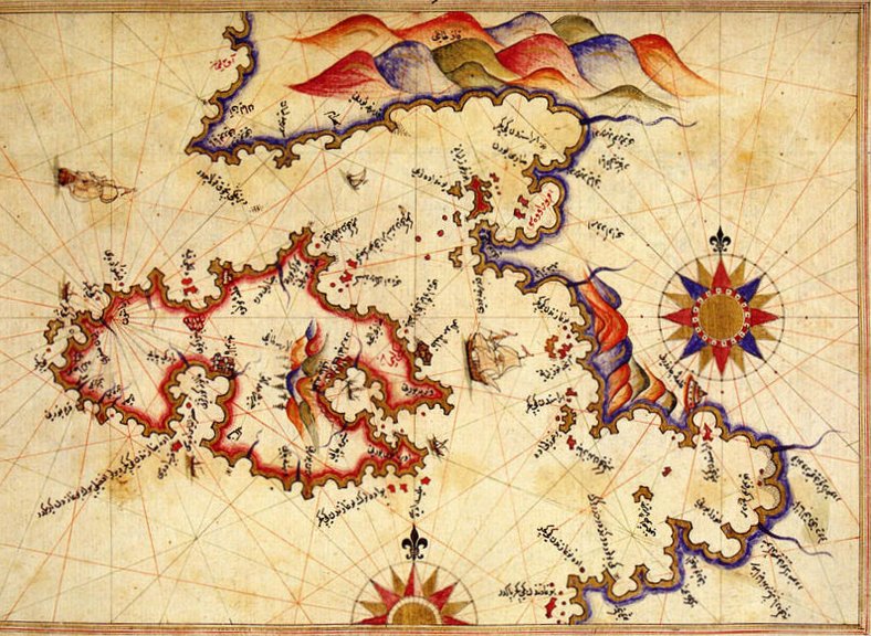
If anyone objects, saying, "Is it not possible to put it on several parchments?" the answer is
that the parchments would become so big as to be impossible to use on board ship.
For this reason, cartographers draw on a parchment a map, which they can use for braod
stretches of coast and large islands. But in confined spaces they will a pilot.
|